Contributed by Doug
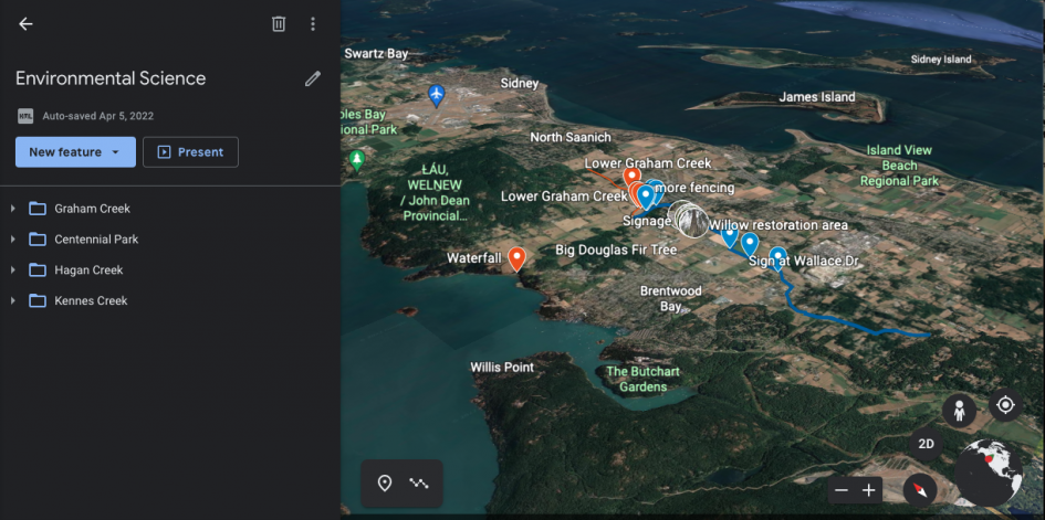
The use of collaborative mapping technologies such as Google My Maps allows students to create and share customized maps, as well as work collaboratively to create maps as a group. Students can pin geographic locations and add information such as text, photos, and video to these pins. Map layers can be used to organize pins by topic. These layers can be viewed separately to focus on one theme, or overlapped to show the interactions and connectivity between themes. As a tool in environmental education this type of technology is very useful. For example students can pin information to maps of their local environment, share their observations with classmates and teachers, and create maps on different factors in the environment. These activities employ a social constructivist approach to learning design; learners assemble or construct knowledge with others within a social environment facilitated by the teacher (Piccano, 2017). Students are also required to engage with higher order thinking skills such as analysing, evaluating, and creating. Within the context of Blooms Digital Taxonomy, these skills are demonstrated through validating and posting information, by filming and photographing themselves, their peers, and their environment, and by collaboratively creating an original online resource (Sneed, 2016). Collaborative online mapping activities provide inquiry-based experiential learning opportunities for students to gather and share information from their ecological surroundings. Maps are by nature a place-based resource, and the activity of creating a map requires engagement with place, which develops deeper connections between students and their local environment and community.
Access the Learning Design Document here: Collaborative Mapping Technology in Environmental Education
Image from Doug’s Project


Leave a Reply