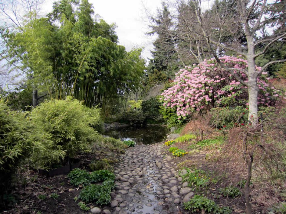
As you stand here in the gardens, reflect on the following:
- What is the history of this place and how has the land changed over time?
- How has the intention behind the use of the land changed over time. What is your perspective on the intention behind the gardens now?
- How would you like to see Finnerty Gardens evolve in the future? Why?
Exploring Historical Satellite Imagery on Google Earth
Using Google Earth you can view historical aerial photos of any location. This is useful to see the impact of human and industrial development over time. See below the historical data for the UVic campus that shows various budlings under development in the past.
Resources about the Past, Present, and Future of Finnerty Gardens
- A map detailing the pathways around Finnerty gardens, as well as the location of and seasonal and scientific information about the flora and fauna you will come across.
- A photo gallery as part of the UVic Website, featuring the grounds and landscape, flora and fauna, wildlife and benches and plaques.
- A sub-section of the UVic website that discusses the history of Finnerty Gardens.
- As part of the “UVic Community Green Map” website, this link provides information specific to the history of the land Finnerty Gardens was created on.
- A sub-section of the “My UVic Life” website this link provides Top Five Facts About the History of Our Campus.
- A lengthy document, but there is information on how the pond is fed by an underground irrigation system rather than a natural source.


Leave a Reply